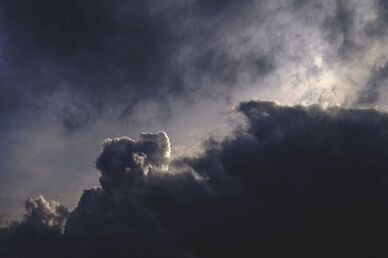
The city of Quimper has issued a public advisory ahead of Storm Boelo, which is forecast to affect the city across the weekend of Saturday 24 and Sunday 25 October 2026. According to Ville de Quimper, a fresh weather system moving over northern Finistère will noticeably worsen conditions in the city over those two days, with the storm also tracking across Ireland.
The municipality states that Météo-France expects powerful wind gusts that could reach 90 km/h during the night from Saturday to Sunday. Quimper officials add that Boelo's impact is expected to be less severe than that of Storm Austen, the first named storm of the season to hit the region.
Why it matters
Quimper's advisory is a routine but practical one: the city notes that these kinds of windy episodes are common in the region, yet they can still be dangerous in places. The warning is aimed less at alarm than at preparation — residents are being asked to secure property, check conditions before heading out, and stay informed as the forecast develops.
The timing matters too. The alert covers a weekend, when outdoor plans, coastal walks and travel are more likely. Quimper is flagging that the wind could complicate driving conditions, and it is urging particular caution for anyone taking part in activities that are sensitive to the weather or for anyone near the shoreline.
What the city is asking residents to do
Ville de Quimper's guidance centres on reducing the risk from loose objects and the sea. Residents are asked to bring inside or tie down anything left out in the wind that could be blown away or damaged — garden furniture is the example the city gives.
For those considering time on the water, the city advises contacting professionals first to get accurate information about sea conditions before setting out. Quimper also points residents to Météo-France's website and a free telephone recorded forecast line for updates as the situation evolves.
The advisory stresses that conditions can shift, and that people should keep track of how the forecast changes over the weekend rather than relying on a single early reading.
Context: a second storm in quick succession
Boelo arrives shortly after Storm Austen, which Quimper explicitly names as the more serious of the two events for the region. The city's framing suggests local authorities are watching a run of unsettled autumnal weather rather than a single isolated event.
The advisory does not include specific figures on expected damage, road closures or power outages for Quimper, and it does not issue an official alert level of its own. Instead, it defers to Météo-France for the forecast and presents the 90 km/h gust figure as the agency's expectation for the overnight period.
What to watch
The key thing to monitor is how the forecast develops between Saturday and Sunday, and whether Météo-France revises the expected gust strength or extends the warning area. Residents can follow updates through the agency's website or its free recorded forecast line, as Quimper recommends.