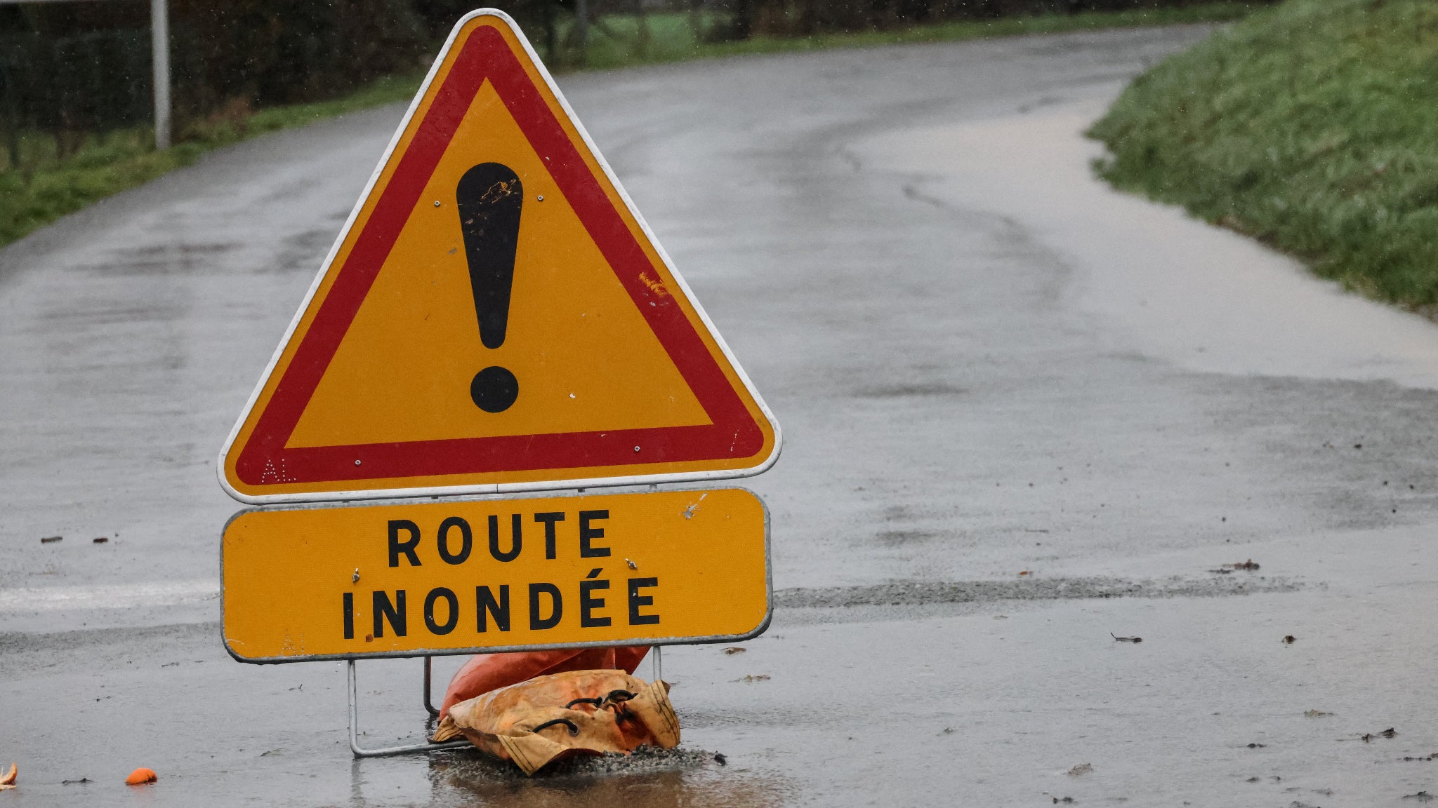
Météo-France maintained Haute-Corse under red rain-flood alert in its bulletin issued at 4pm on Tuesday, as a highly active Mediterranean weather episode swept the island from west to east. The forecaster described the event as "exceptional in places," with storms it called potentially virulent bringing heavy bursts of rain, significant lightning activity and hail, according to BFM.
The agency said the stormy passage would be brief but intense, with wind gusts of 70 to 100 km/h, followed by a gradual easing. It expects the episode to wind down around 8pm.
Why it matters
The alert covers one of the heaviest rainfall events recorded in Corsica in decades, and it arrived alongside disruption across southeastern France. A weather station at Solenzara on the island's eastern coast logged 434.3mm of rain in three hours on Tuesday morning — roughly the equivalent of two and a half months of precipitation — setting an absolute record for the site. The previous mark, set in late October 1979, stood at 348.4mm.
The French observatory for storms and tornadoes reported 416mm over 24 hours across Haute-Corse, including 189mm in the single hour between 10am and 11am, BFM reported. In one six-minute stretch, 25mm fell, particularly around Solenzara.
Keraunos, the French lightning observatory, counted more than 11,000 flashes over the department between 6am and midday, of which 3,400 were ground strikes. It singled out the commune of Solaro, which it said took more than 1,500 strikes on its own.
Transport holding up, roads less so
The Haute-Corse prefecture said that as of Tuesday afternoon, maritime and air transport had not been affected by the weather, though the road network was causing difficulties and rail services on the island were expected to face problems.
Corsica-du-Sud remained under orange rain-flood alert, one level below its northern neighbour. The Gard stayed on orange for river flooding, while the Var saw its orange storm and flood warning lifted and moved to yellow until early evening. The Var prefecture said moderate rain would continue falling on already saturated ground, with the Nartuby and Gapeau rivers still on yellow flood alert, and warned that flooded roads remain closed.
Records fall on the mainland
The Mediterranean episode also produced striking totals in mainland France, with some areas exceeding 100mm in 24 hours, including parts of the Gard and Hérault and the area around Istres and Marignane.
Salon-de-Provence recorded 206.2mm in 24 hours, an all-time high for that station. The Solenzara air base in Corsica-du-Sud, close to the boundary of the red zone, accumulated 357.7mm over the same period.
In the Bouches-du-Rhône, firefighters reported several rescue and safety operations in the Côte Bleue, Étang-de-Berre and northern parts of the department. More than 200 call-outs were logged between 8pm and 10.30pm on Monday and again from 4am on Tuesday, with Saint-Chamas, Châteauneuf-les-Martigues and Saint-Mitre-les-Remparts among the hardest-hit communes. Crews also carried out pumping operations after flooding.
The department's fire service brought in 112 additional personnel around midday to support the 500 staff already on duty, with further rain forecast for the afternoon and evening. The prefect of Bouches-du-Rhône said on X that state services, police and emergency crews remained fully mobilised, urging residents to take care and never drive onto a flooded road.
In the Gard, the Rhôny river burst its banks and covered roads, and the mayor's office in Clarensac reported serious disruption to the local road network. The prefect of the Gard announced the reopening of the A9 motorway, a section of which had been closed.
Nice closed its public parks and gardens from 1pm because of the weather, citing forecast storm gusts of 60 to 80 km/h. The city hall said the castle lift would also shut, and that access to eastern beaches — La Réserve, Coco beach and Les Bains militaires — and the coastal path had been closed since the morning because of dangerous waves.
Forecasters expect conditions to ease through the evening, with attention now turning to the state of saturated ground and river levels as the storm band clears.